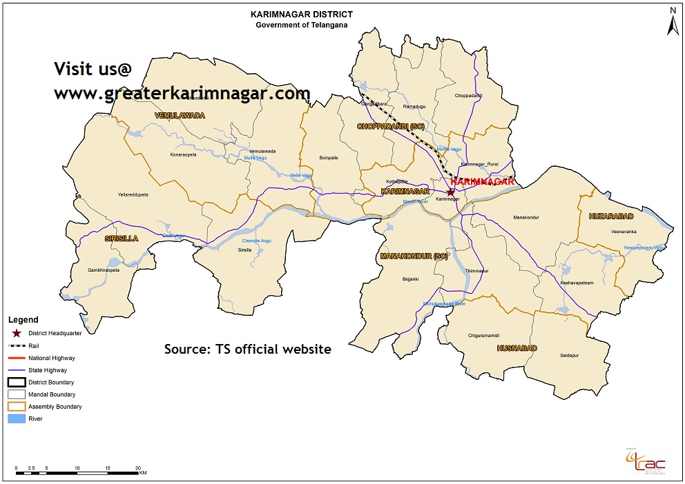
The city was named after Syed Karimuddin, who is thought to be its founder. The district lies on the northern part of Andhra Pradesh approximately between the latitudes 17° 50' and 19° 05'N and longitudes 78° 29' and 80° 22'E.
Karimnagar district is bounded by Madhya Pradesh State in the east, Nizamabad district in the West, Warangal and Medak districts in the South and Adilabad district in the North directions.
According to 2011 Census of India, the district has a population of 10, 05,711.
Districts Geographical Profile
Districts Major Crops
Districts Major Mineral Production
District Officials
Karimnagar has a population of 261,185 within its corporation limits, according to 2011 census, making it the fourth largest city in Telangana state.
Across Karimnagar, there are several Hindu Temples, Mosques, Churches, and Gurudwaras.
The major rivers flowing through the district are :
1) Godavari
2) Manair